


Camera FAQ #6: What kind of information do you get when you use the GPS function?
When sorting out your holiday snaps, do you often find yourself wishing you had accurate information on where you took the photos? Here, I will introduce what you can do with a camera that has a GPS function. (Reported by: Ryosuke Takahashi)

A slow loris captured with the EOS-1D X Mark II. GPS data can be extremely useful when taking shots of endangered animals.
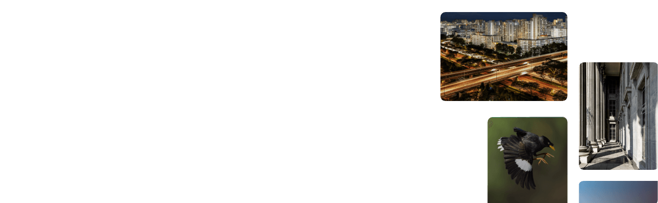
The GPS function not only tells you where shots were taken, it also allows you to track movement paths
The GPS function is the newest feature to be added to some of the EOS and PowerShot cameras. While there are certain models that require an external receiver, there are also other models with a built-in antenna that can obtain GPS information via satellite all on the camera itself.
Data such as the latitude, longitude, elevation, and Coordinated Universal Time (UTC), is recorded as EXIF metadata, which is then appended to the image. Using dedicated software, you can check the positions with ease after shooting, and also trace the path that you took with your camera on a map. You can utilise these features to indicate the locations of your shots with pinpoint accuracy even in places where it is hard to identify the location by simply looking at the photo, such as in a snowy field or on a coastline. The location data can be used as a guide if you were to ever revisit the shooting location. Another plus is that it makes it easier for you to add a detailed explanation to your shots when applying for photography contests and the like.
However, if you want to use the GPS function inside an aircraft, you are advised to check with the airline beforehand, as it may affect flight safety.

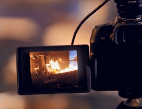
This is the GPS information as displayed on the EOS 6D. The camera receives information on latitude, longitude, elevation and so on from GPS satellites, which is then recorded inside the camera and appended to the image data.

The image data with the recorded GPS information is shown. Detailed information such as latitude and longitude is embedded in the data space, allowing you to check the detailed positional information.

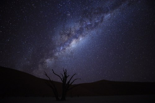
Use the "Map Utility" software provided with EOS cameras to associate the shooting location with your shots and display it on a map.

A path of your movements can be displayed graphically based on the data acquired from the "Map Utility" software’s log function, so you can see at a glance what kind of route you took.
Canon cameras with built-in GPS function

PowerShot D30
The PowerShot D30 is waterproof to 25m and freeze-proof to -10℃. The GPS function is built into the tough camera body that allows you to take shots anywhere, any time.
Click here for details on the PowerShot D30

EOS 6D
The EOS 6D, with its lightweight 680g body and full-sized sensor, also has a built-in GPS function. The GPS data is invaluable when keeping track of the scenery from your travels.
Click here for details on the EOS 6D

EOS 7D Mark II
The APS-C flagship, the EOS 7D Mark II, also has the GPS function built in. Having the GPS data for those precious shots of wildlife allows you to identify the shooting location.
Click here for details on the EOS 7D Mark II

EOS-1D X Mark II
For the professional photographer who may take several thousand shots a day, the GPS functions as a welcome aid for sorting photos.
Click here for details on the EOS-1D X Mark II

Ryosuke Takahashi
Born in Aichi in 1960, Takahashi started his freelance career in 1987 after working with an advertising photo studio and a publishing house. Photographing for major magazines, he has travelled to many parts of the world from his bases in Japan and China. Takahashi is a member of the Japan Professional Photographers Society (JPS).

Digital Camera Magazine
A monthly magazine that believes that enjoyment of photography will increase the more one learns about camera functions. It delivers news on the latest cameras and features and regularly introduces various photography techniques.
Published by Impress Corporation